No products in the cart.
StreamStats is a Web-based Geographic Information Systems (GIS) application that provides users with access to an assortment of analytical tools that are useful for a variety of water-resources planning and management purposes, and for engineering and design purposes
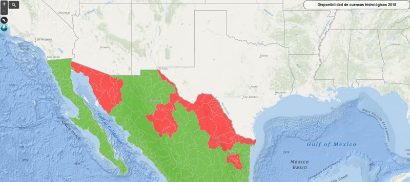
Geoportal de disponibilidad anual de agua superficial en las cuencas de México del Sistema Nacional de Información del Agua
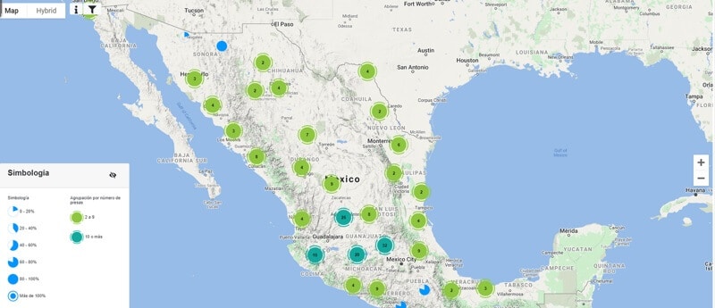
Sistema Nacional de Información del Agua Monitoreo de las Principales Presas de México
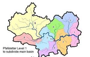
HydroSHEEDS global dataset of watersheds delineated in a consistent manner at different scales, and a hierarchical sub-basin breakdown was created following the topological concept of the Pfafstetter coding system
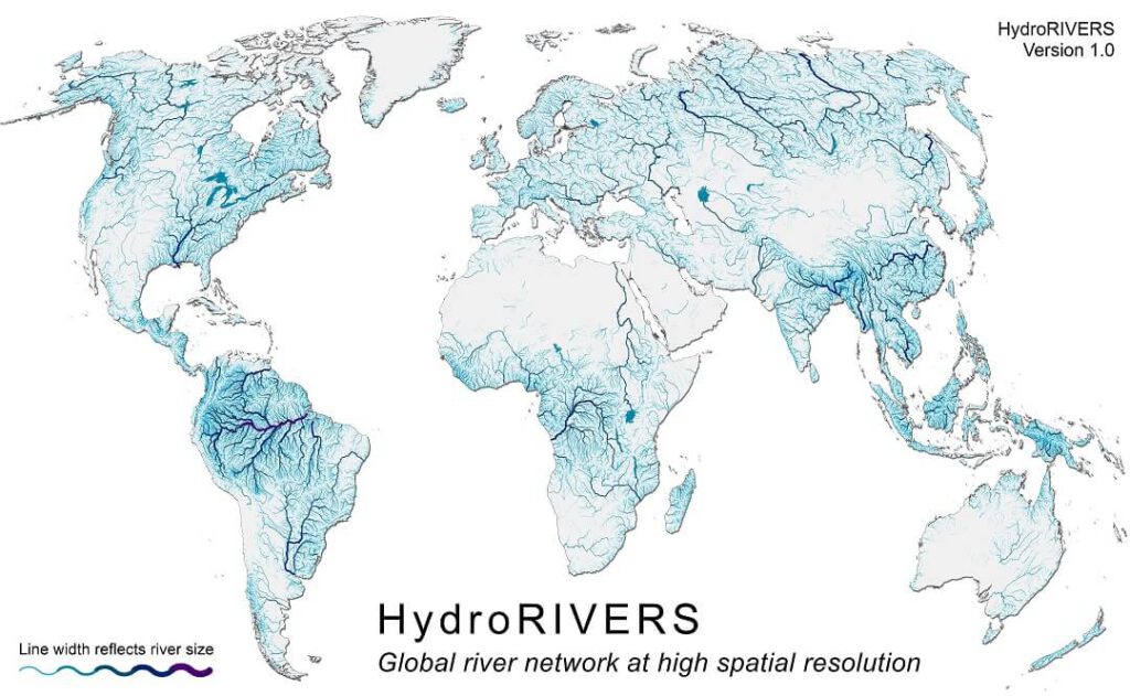
HydroSHEEDS database that provide the vectorized line network of all global rivers that have a catchment area of at least 10 km2 or an average river flow of 0.1 cubic meters per second, or both.
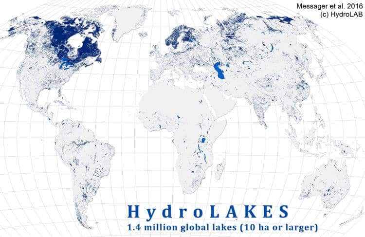
HydroSHEEDS database of 1.4 million lakes that include estimates of the shoreline length, average depth, water volume and residence time
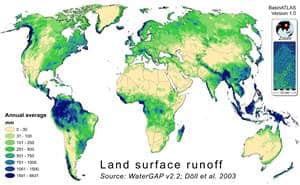
HydroATLAS database that offers a global compendium of hydro-environmental sub-basin and river reach characteristics at 15 arc-second resolution
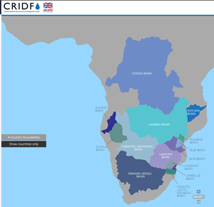
Interactive web mapping of transbounrady basins in Africa by the Climate Resilent Infrastructure Development Facility
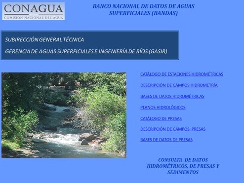
Banco Nacional de Datos de Aguas Superficiales en México
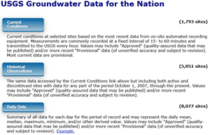
USGS offers surface-water data that includes more than 850,000 station years of time-series data that describe stream levels, streamflow (discharge), reservoir and lake levels, surface-water quality, and rainfall
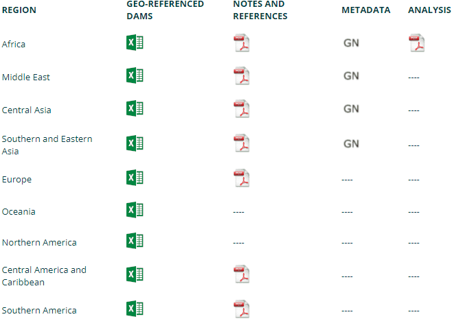
AQUASTAT - FAO's Global Information System on Water and Agriculture offers a global scale geo-referenced Database on Dams
There was a problem reporting this post.
Please confirm you want to block this member.
You will no longer be able to:
Please allow a few minutes for this process to complete.